Fens at Risk — The Vulnerability of the Cambridgeshire Fenlands
- peter corr
- May 8, 2023
- 2 min read
Updated: May 25
In May 2023 I gave a presentation at the Royal Photographic Society Contemporary SIG conference, held over a weekend at Foxton, Cambridgeshire. The theme of the event centred on the vulnerability of the Fenland area — its exposure to rising sea levels, the pressures on its flood infrastructure, and the broader implications of climate change for a landscape that sits, in large part, below sea level.

A Landscape Below Sea Level
With a third of the Fens currently below sea level, the area depends on a network of flood protection infrastructure — drains, pumping stations, dykes, and flood plains — much of which is nearing the end of its design life and will soon require significant investment. Sea levels are predicted to rise by up to a metre by the end of the century. On this basis, without major sea defences, the sea could reach to the outskirts of Cambridge and Peterborough, flood much of East Norfolk, and drown large areas of coastal land in Suffolk and Essex. The potential for severe flooding in the region is considerable.
The Fens have been subject to profit and exploitation since 1630, when King Charles I granted the fourth Earl of Bedford the right to drain 95,000 acres traversed by the Rivers Nene and Great Ouse. What was once reclaimed from the sea by Dutch engineers and generations of labourers now faces the prospect of returning to it. The irony is not lost on those who know this landscape well.


Photography as a Record of the Present
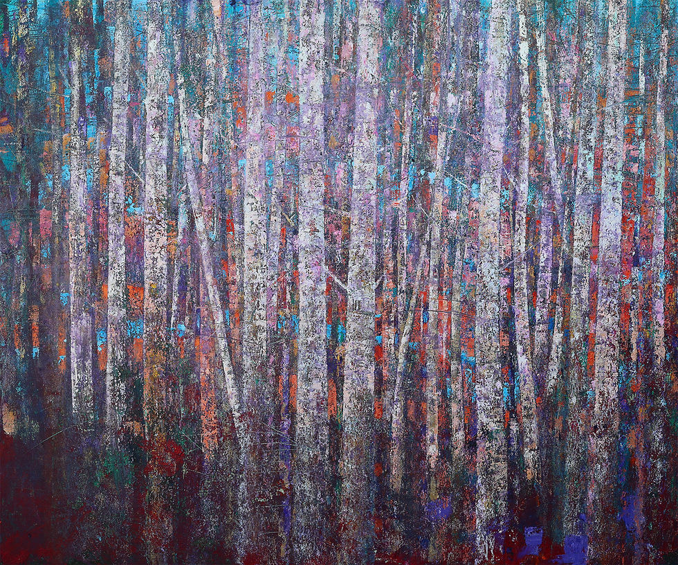
My own contribution to the conference drew on the photography project I completed during the lockdown period — a series of black and white images of the Cambridgeshire Fenland landscape, focusing on its archetypal topography: dykes and rivers, tilted telegraph poles, uneven roads disappearing into the distance, and semi-derelict farmhouses. These photographs are included in my book 'Fenland' and were exhibited at the 'Beyond the Image' photographers gallery in Suffolk in 2021.
The project was not conceived as documentary in intent. I was drawn to the understated quality of the landscape — its flatness, its exposure, its strange melancholy. But in retrospect, there is something documentary about it: a record of a place as it exists now, before whatever changes the coming decades may bring. Sticking a stick in the peat, as it were, to mark the present moment.

The Fellow Speaker: Justin Minns
The conference also featured photographer Justin Minns, author of the best-selling photo-location guidebook 'Photographing East Anglia'. Justin spent 2015 photographing the East Anglian coast as a project for the National Trust, and his presentation drew on that work alongside other images made in the region. His photographs bring a different sensibility to the same landscape — more attentive to the picturesque possibilities of the coast, where my own work tends towards the interior and the austere.
The combination of two distinct approaches to the same subject made for a productive and stimulating weekend. The Fenlands reward sustained attention, and the conference was an opportunity to consider what photography — and by extension, painting — can do with a terrain that resists easy description.


Comments